

Poznaj fascynującą podróż pizzy, od prostego chleba starożytnych cywilizacji, przez przysmak ulic Neapolu, aż do globalnego fenomenu kulinarnej rozkoszy.
Zapoznaj się z kluczowymi wskazówkami, jak selekcjonować najlepsze składniki, by w domowym zaciszu stworzyć pizzę dorównującą tej z najlepszych włoskich pizzerii.
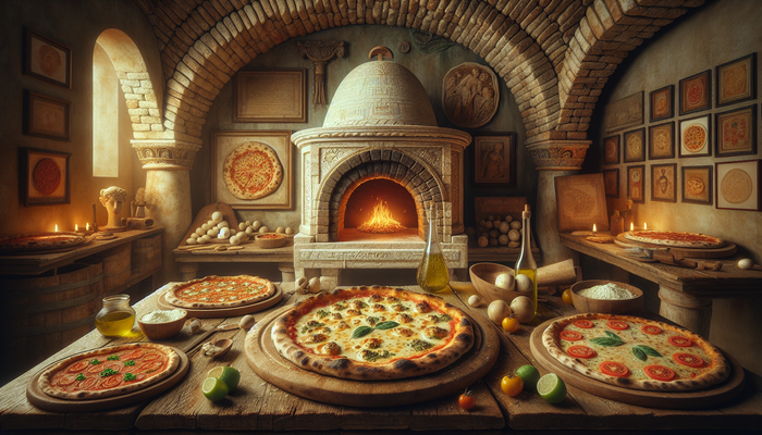
Recenzja pizzerii, która przeniesie cię wizją, smakiem i atmosferą do słonecznego Neapolu, nie wychodząc poza granice Warszawy.
Poznaj łatwy przepis na przepyszną domową pizzę, która zachwyci rodzinę i przyjaciół, będąc idealnym danie na każdą okazję.
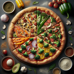
Odkryj sposoby na to, jak tradycyjna pizza może stać się pełnowartościowym daniem wegetariańskim bez utraty swojej esencji i smaku.